
Population 89 (2001) Civil parish Kaber Local time Friday 11:44 AM UK parliament constituency Penrith and The Border | OS grid reference NY7911 Sovereign state United Kingdom Dialling code 01768 | |
 | ||
Weather 7°C, Wind SW at 45 km/h, 87% Humidity | ||
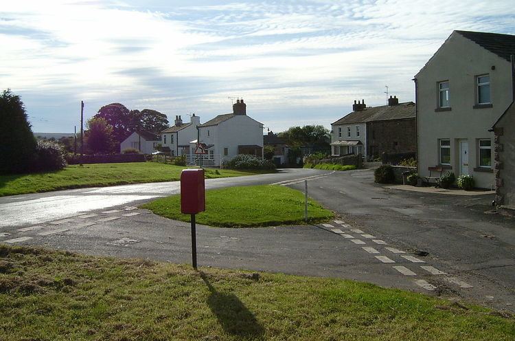
Kaber is a village and civil parish in the Eden District of Cumbria, England.
Contents
Map of Kaber, UK
Location and topography
The village is located about 2 miles (3.2 km) to the south of Brough. Until the latest boundary changes Kaber was situated in the historic county of Westmorland.
The northern boundary of the civil parish is formed by the River Belah which rises near Kaber Fell to the southeast and flows just north of the village en route to joining the River Eden.
The population taken at the 2011 Census was less than 100. Parish record details are maintained in the adjacent parish of Winton.
References
Kaber, Cumbria Wikipedia(Text) CC BY-SA