
Country United Kingdom | ||
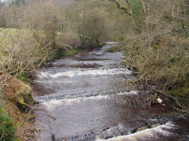 | ||
The River Belah is a river in the county of Cumbria in England.
Map of River Belah, United Kingdom
The Belah is formed by the confluence of several small streams or sikes draining most of north and south Stainmore close to the border with County Durham and Yorkshire. It flows west with South Stainmore to north and Kaber parish to the south. The river is swollen by Argill Beck at Field Head and the Powbrand Beck near Thorney Scale. Having washed by Brough Sowerby, the Belah combines its waters with those of the River Eden.
The Stainmore Railway crossed the river on the huge iron-girder lattice Belah Viaduct, before it was demolished in 1964. It was the highest bridge in England, at 196 feet (60 m) high.
References
River Belah Wikipedia(Text) CC BY-SA