
Country Thailand Tambon 2 Amphoe established 1991 Area 451 km² Province Yala Province | Seat Kabang Muban 19 Time zone THA (UTC+7) Population 23,226 (2014) | |
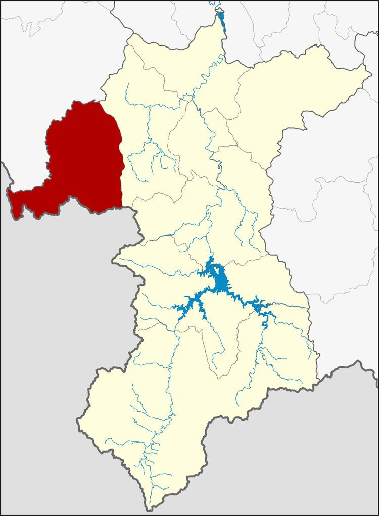 | ||
Kabang (Thai: กาบัง) is the westernmost district (Amphoe) of Yala Province, southern Thailand.
Contents
- Map of Kabang District Yala 95120 Thailand
- History
- Geography
- Central administration
- Local administration
- References
Map of Kabang District, Yala 95120, Thailand
History
The name Kabang is actually the Thai corruption of Kabae or Kabe (Jawi: كاب), its original name in Patani Malay language. Kabae or Kabe is a kind of Rambutan tree.
The area of Kabang district was separated from Yaha district to create a minor district (King Amphoe) on April 1, 1991. It was upgraded to a full district on October 11, 1997.
Geography
Neighboring districts are (from the northwest clockwise) Saba Yoi of Songkhla Province, Yaha of Yala province and the state Kedah of Malaysia.
Central administration
The district Kabang is subdivided into 2 subdistricts (Tambon), which are further subdivided into 19 administrative villages (Muban).
Local administration
There are 2 subdistrict administrative organizations (SAO) in the district: