
Country Philippines Barangays Elevation 60 m Province Cotabato | Incorporated August 18, 1947 Demonym(s) Kabakeños Local time Friday 7:09 PM | |
 | ||
Region SOCCSKSARGEN (Region XII) District 3rd District of South Cotabato Weather 28°C, Wind NE at 10 km/h, 75% Humidity University University of Southern Mindanao Neighborhoods Kinudal, Kayaga, Bai Matabay Plang Village I, Bai Matabay Plang Village II, Bai Matabay Plang Village III, Wangay | ||
Kabacan is a first class municipality in the province of Cotabato, Philippines. According to the 2015 census, it has a population of 89,161 people.
Contents
- Map of Kabacan Cotabato Philippines
- History
- Geography
- Climate
- Barangays
- Demographics
- Economy
- Natural resources
- Tourist attractions
- Education
- References
Map of Kabacan, Cotabato, Philippines
The town is predominantly composed of rice farms made possible by the influx of Ilocano-speaking people from northern Philippines. The University of Southern Mindanao is in Kabacan. It is strategically located between the cities of Cotabato and Davao from west to east and the cities of Cagayan de Oro from the north and General Santos from the south.
History
Kabacan got its name from the word “ka-abacan” which means the source of abundance. People from far-flung barangays used to come to this place and, upon returning home, they brought with them many commodities of their livelihood.
The municipality of Kabacan was a barrio of the municipal district of Pikit before its creation as a district political body. It was created as a regular municipality by virtue of Executive Order No. 82 dated August 18, 1947, issued by President Manuel Roxas of the Republic of the Philippines.
Growth was gradual under the domain of Datu Mantawil; that influx of settlers from Luzon and Visayas arrived in the 1930s. This was made so when the McLareen family sold its hacienda to Jose Yulo Alano, Rafael Alunan and party who organize a company under the cooperate name of Rio Grande Estate. The company be came the people's place of business and social center. Recognizing his immense power and leadership over the area, the provincial governor of Cotabato organizes the Kabacan into a Municipal District with Datu Mantawil as its first mayor in 1935.
When the Second World War broke out and the Japanese Imperial Army occupied the country, the Rio Grande Rubber Estate was sold by the Filipino Incorporators to the Japanese Imperial Government. It became the site for the provisional municipal government with Cenon Doctolero as the appointed mayor. The Japanese garrison was attacked Oct. 25, 1942, by guerrilla forces under U.S. Lieut. Col. Wendell Fertig. During a fourteen-day siege sixty-eight of the seventy-six Japanese garrison were killed. Only the arrival of reinforcements saved the garrison and caused the guerrillas to withdraw.
Through Executive Order No. 82, dated August 17, 1947, Kabacan became a regular municipality.
Geography
Kabacan is centrally located in Cotabato Province, bounded on the north by Pres. Roxas, on the east by the Mun. of Matalam, M’lang on the south and on the west by the municipalities of Carmen and Datu Montawal, Maguindanao. It is approximately 94 kilometres (58 mi) from Cotabato airport, 194 kilometres (121 mi) to Davao airport and 188 kilometres (117 mi) to General Santos International Airport.
The landscape is characterized by almost regular landscape of flat terrain. The high mountains and rolling hills leaping close to the river plus the narrow plains have varied topographical features. Other features are moderately sloping and strongly sloping.
Climate
Type B climate prevails in the municipality. It is characterized by dry season for one to three months with less than 76 millimeters or more rainfall per month throughout the year. The wettest month has more than three times the rainfall of the driest month. This type of climate is conducive to intensive rice cultivation and plantings of bananas and other fruit trees.
Barangays
Kabacan is politically subdivided into 24 barangays.
Demographics
In the 2015 census, the population of Kabacan, Cotabato, was 89,161 people, with a density of 200 inhabitants per square kilometre or 520 inhabitants per square mile.
Economy
Commercial activities are in the Public Market and along the National Highway and USM Avenue. Kabacan serve as a business and trading center for the adjacent municipalities of Carmen, Pagagawan, Pikit and Matalam. The majority of the commercial establishments are engaged in general merchandizing, sari-sari and dry goods. One big shopping center and drug store owned by a big company are along the National Highway. There are four banks and three gasoline stations.
Other small-scale industries are electronics and repair shop, car/motor vehicle body builder/repair shop, vulcanizing and machine shop, shoe and appliance repair shops hollow blocks/culvert making basket/mat weaving, dressmaking/tailoring, balut making, bakery and Mascovado factory in Barangay Malanduage.
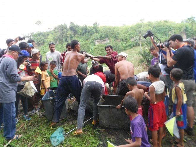
Natural resources
Primarily agricultural crops include corn, rice, soybeans, peanut, mongo, cassava and other field crops. This town is popularly known as the "Rice Production Center", the "Rice Granary of the Province of Cotabato". Its populace has devoted most of its fertile domain to rice production. Corn is the secondary crop of this town.