Elevation 76 m (249 ft) Local time Saturday 2:45 PM Postal code 23451 | Time zone CET (UTC+1) Population 135 (2011) Area code 023 | |
 | ||
Weather 8°C, Wind N at 26 km/h, 56% Humidity | ||
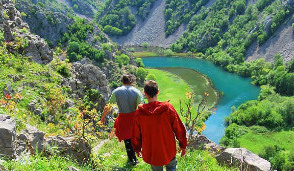
Za gor te nay jede lubenicu ka tel egarski zrmanja raftrek adventure travel
Kaštel Žegarski (German: Schegar) is a village in northern Dalmatia which lies within the administrative area of Obrovac in Zadar County, Croatia.
Contents
- Za gor te nay jede lubenicu ka tel egarski zrmanja raftrek adventure travel
- Map of 23450 KaC5A1tel C5BDegarski Croatia
- Location
- PopulationDemographics
- References
Map of 23450, Ka%C5%A1tel %C5%BDegarski, Croatia
Location
It lies 15 kilometres (9 mi) south-southeast of Obrovac, 9 kilometres (6 mi) northeast of Ervenik and a short distance south of the Zrmanja River.
Population/Demographics
The highest population of Kaštel Žegarski was 1,832 recorded in the census of 1921. In the census of 1991, Kaštel Žegarski had 480 inhabitants, almost all of whom were Serbs. The 2001 census recorded 53 residents. The 2011 census recorded 135 residents.
The Orthodox Church of Saint George, established in 1618, is located in the village.
From 1990 to 1995, Kaštel Žegarski was in the area controlled by the Republic of Serbian Krajina, the Serbian separatist movement.
