
East end: US-69 in Franklin | Length 99.06 km | |
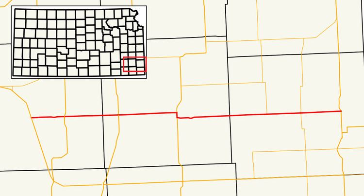 | ||
West end: North 20th Street in Fredonia Major cities Fredonia, Girard, Altoona, Greenbush, St. Paul, Franklin, Kansas Counties Wilson County, Kansas, Neosho County, Kansas, Crawford County, Kansas | ||
'K-47' is a 61.6-mile-long (99.1 km) state highway in the U.S. state of Kansas. It is an east-west route, and connects small towns in southeast Kansas.
Contents
Route description
K-47 begins a 1⁄4 mile (0.40 km) west of U.S. Highway 400 (US-400) at an intersection with North 20th Street in Fredonia. It then meets US-400 at a roundabout intersection east if the city. K-47 then travels east to Altoona, where it intersects US-75. The highway continues eastward through rural Wilson County until it meets US-169 in western Neosho County north of Thayer. It continues east to US-59, where it shares a short one-mile (1.6 km) concurrency with the U.S. Highway. K-47 resumes its easterly course, crossing the Neosho River, and passing through St. Paul before entering Crawford County. The highway then passes through Greenbush and intersects the southern terminus of K-3 before arriving in Girard, where it meets K-7. K-47 continues east seven miles (11 km)) where it terminates at US-69 in Franklin.
History
K-47 has followed its current route since 2005, and was much shorter previously. Some time before 1956, the western terminus was at K-96 (now US-400) north of New Albany, following current-day county roads 1100 Road and Barber Road. Its eastern terminus was at US-59, and the rest of the route was an old routing of K-57.