
Existed: 1937 – present Constructed 1937 | Length 47.09 km | |
 | ||
Counties Clark County, Kansas, Ford County, Kansas | ||
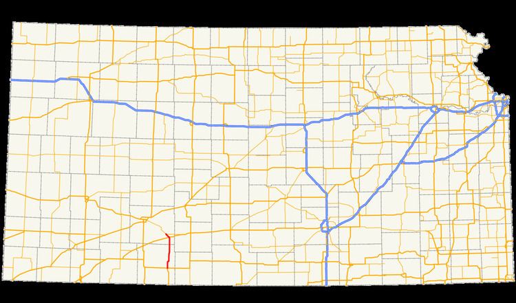
K-34 is a 29.26-mile-long (47.09 km) state highway in southwestern Kansas that runs from U.S. Route 160 (US-160) and US-183 near Ashland to US-400 near Bucklin. It is one of the lesser-traveled highways in the state and is not part of the National Highway System. It is a two-lane road for its entire length.
Contents
K-34 was originally designated in southeastern Kansas, running through Neodesha. The designation was moved to southwestern Kansas in 1937, replacing the old K-41 designation. The highway formerly ran to the Oklahoma border via a concurrency with US-183. The designation was shortened in 1993 to its current routing.
Route description
K-34 begins at an intersection with US-160 and US-183 east of Ashland in Clark County. It heads north through rolling farmland along a two-lane road. A series of curves takes the highway northeast, after which the route straightens out to the north and crosses Bluff Creek before intersecting a road which, prior to 1965, carried K-34. It continues due north and enters Ford County. North of the county line and south of Bucklin, K-34 takes the name 132 Road. The route turns to the northwest as it crosses Day Road and enters the city of Bucklin.
After entering the city, K-34 curves to the north and becomes Main Street. In the northern portion of Bucklin, the route turns southwest and overlaps U.S. Route 54 for a short distance. Following the short concurrency, K-34 turns to the north and passes under a railroad operated by Union Pacific. The highway twists to the northwest and leaves Bucklin, meeting its northern terminus a few miles farther to the northwest at an intersection with US-400.
K-34 is maintained by the Kansas Department of Transportation (KDOT). The route's annual average daily traffic in 2012 was about 570 vehicles, including 240 trucks, south of Bucklin. North of the city, there was significantly more traffic. There were 1010 vehicles, and 285 trucks, from Bucklin to the highway's northern terminus. No segment of the highway is part of the National Highway System, a system of highways important to the nation's defense, economy, and mobility.
History
K-34 was first designated before 1932 in Wilson and Montgomery counties. That route began at K-96 and ran east to K-16. Around 1936, another segment of the route was designated in Cherokee County, east of the rest of the route, from Crestline to the Missouri state line. In 1937, the portion of the western segment of the route located west of US-75 was re-designated as K-37, the eastern segment of the route was renumbered as K-26, and K-34 was re-designated in the southwestern portion of the state from the Oklahoma state line to its current northern terminus. The segment of the highway north of US-160 replaced the former K-41 designation.
At the time of its designation, not all of K-34 was paved. The segment in Ford County and the concurrency with US-160 was paved, but all other segments were either gravel or dirt. By 1948, all of the route was paved except a small portion in Comanche and Clark counties, which was still gravel. No dirt segments remained by 1948.
In 1965, the K-34 designation was realigned so that it extended straight north from the intersection with US-160 and US-183 instead of overlapping those highways and traveling east. This realignment caused the route to bypass Comanche County entirely, and by 1967, the whole highway was paved. In 1993, the concurrency with US-183 was removed from the route. The route has not been modified since 1993.