
County Cherokee ZIP code 66728 Elevation 265 m | Time zone CST (UTC-6) Area code 620 Local time Friday 8:34 AM | |
 | ||
Weather 3°C, Wind E at 8 km/h, 61% Humidity | ||
6 22 2008 baseball size hail crestline kansas
Crestline is an unincorporated community in Cherokee County, Kansas, United States. Crestline is located on U.S. Route 400 7.5 miles (12.1 km) east of Columbus. Crestline has a post office with ZIP code 66728.
Contents
- 6 22 2008 baseball size hail crestline kansas
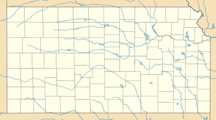
- Map of Crestline KS 66739 USA
- How to say or pronounce usa cities crestline kansas
- History
- References
Map of Crestline, KS 66739, USA
How to say or pronounce usa cities crestline kansas
History
Crestline was a station on the St. Louis–San Francisco Railway.
References
Crestline, Kansas Wikipedia(Text) CC BY-SA