
Length 21.51 km | ||
 | ||
North end: US-160 / US-183 south of Coldwater | ||
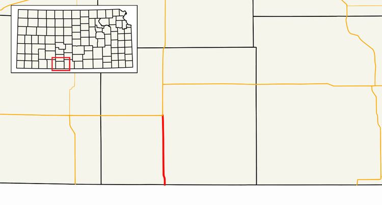
K-1 is a 13.363-mile (21.506 km) state highway in Comanche County in the U.S. state of Kansas. Its southern terminus is at the Oklahoma border south of Buttermilk, where it continues as Oklahoma State Highway 34. Its northern terminus is at U.S. Route 160 and U.S. Route 183 south of Coldwater. The highway is not a part of the United States National Highway System. The highway has annual average daily traffic values between 600 and 645, and the entire route of K-1 is paved with partial design bituminous pavement.
Contents
Map of KS-1, Coldwater, KS 67029, USA
Route description
K-1 begins at the border with Oklahoma, where it is a continuation of Oklahoma State Highway 34. It heads in a northerly direction, turning slightly to the northwest before heading directly northward again. It passes through the unincorporated community of Buttermilk, which is the only community on the route. From Buttermilk, K-1 continues northward until it terminates at an intersection with U.S. Route 160 (US-160) and U.S. Route 183 (US-183) south of Coldwater. The route length is 13.363 miles (21.506 km). The entire route of K-1 is paved with partial design bituminous pavement, a type of bituminous pavement which is not designed or constructed to carry the highway's expected traffic. Annual average daily traffic values for the highway rise slowly from 600 over the southernmost 4.000 miles (6.437 km) of the route to 645 over the northernmost 5.363 miles (8.631 km) of the route. K-1 highway is not a part of the United States National Highway System.
History
K-1 highway was originally established sometime between 1918 and 1932. Originally, K-1 ran much farther to the north than its current terminus, passing from the Oklahoma–Kansas border south of Coldwater north through Greensburg, Kinsley, western sections of Pawnee County, La Crosse, Hays, Plainville, Stockton, and Phillipsburg to a northern terminus just northeast of the town of Woodruff. It would terminate at K-22, which was later known as U.S. Route 83, close to the border with Nebraska. In 1941, K-1 became began to be replaced with US Route 183, beginning with the section between Rozel and Plainville. By 1950, US Route 183 had replaced all but the current alignment of K-1. It was not until 1953 that the entirety of K-1 was paved, as the section of K-1 that comprises the current alignment was not paved until between 1950 and 1953. Since 1953, K-1 has remained at its current alignment.
Junction list
The entire route is in Comanche County.