
Local time Monday 12:02 AM | Population (approx.) 200 | |
 | ||
Weather 2°C, Wind SE at 13 km/h, 95% Humidity Voivodeship | ||
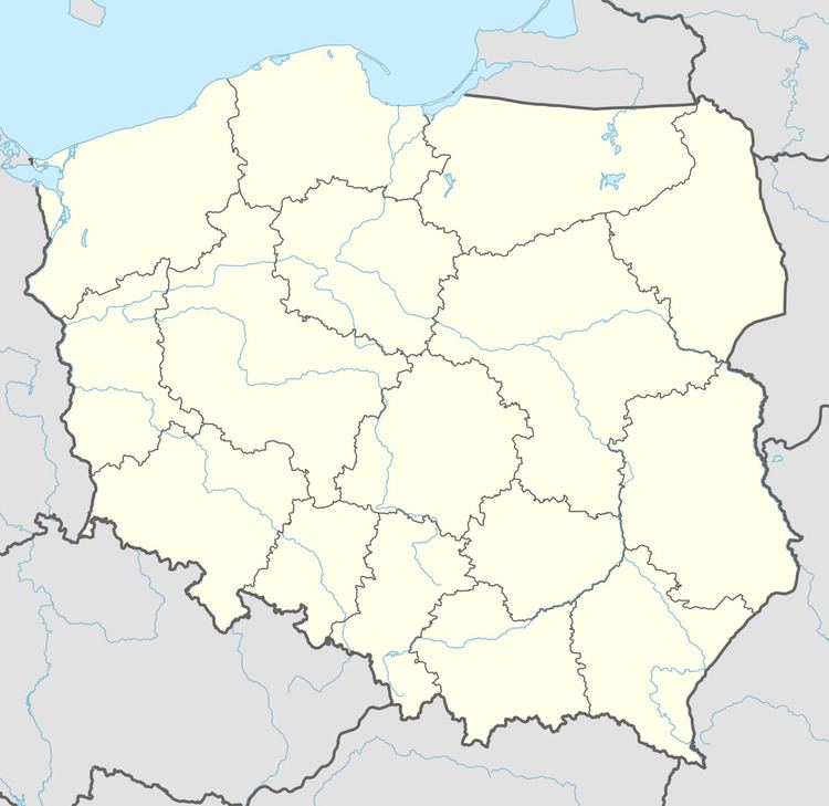
Kłopotowo [kwɔpɔˈtɔvɔ] (German: Klaptow) is a village in the administrative district of Gmina Dygowo, within Kołobrzeg County, West Pomeranian Voivodeship, in north-western Poland. It lies approximately 7 kilometres (4 mi) south-east of Dygowo, 17 km (11 mi) south-east of Kołobrzeg, and 110 km (68 mi) north-east of the regional capital Szczecin.
Map of K%C5%82opotowo, Poland
Before 1945 the area was part of Germany. Following World War II the native German populace was expelled and replaced by Poles. For the history of the region, see History of Pomerania.
The village has an approximate population of 200.
References
Kłopotowo, West Pomeranian Voivodeship Wikipedia(Text) CC BY-SA