
Local time Sunday 10:52 PM | Elevation 102 m | |
 | ||
Weather 1°C, Wind SE at 10 km/h, 95% Humidity Voivodeship | ||
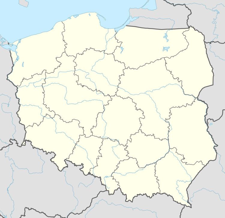
Kępa [ˈkɛmpa] (German: Johannesthal) is a village in the administrative district of Gmina Drawno, within Choszczno County, West Pomeranian Voivodeship, in north-western Poland. It lies approximately 3 kilometres (2 mi) north-west of Drawno, 24 km (15 mi) east of Choszczno, and 80 km (50 mi) east of the regional capital Szczecin.
Map of K%C4%99pa, Poland
Before 1945 the area was part of Germany. For the history of the region, see History of Pomerania.
References
Kępa, West Pomeranian Voivodeship Wikipedia(Text) CC BY-SA