
Admin. region Kassel Elevation 336 m (1,102 ft) Area 30.29 km² Local time Sunday 10:01 PM Dialling code 0661 | Time zone CET/CEST (UTC+1/+2) Population 16,337 (30 Jun 2009) Postal code 36093 Administrative region Kassel | |
 | ||
Weather 10°C, Wind SW at 23 km/h, 70% Humidity | ||
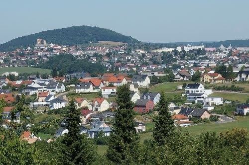
Künzell is a municipality in the district of Fulda, in Hesse, Germany. It is situated 3 km east of Fulda. It is twinned with the English village of Rustington.
Contents
Map of K%C3%BCnzell, Germany
The subdivisions are: Künzell/Bachrain, Pilgerzell, Engelhelms, Dirlos (with Loheland), Dietershausen, Keulos, Wissels and Dassen.
Early Middle Ages
In 743 a monk named Chindolf settled there in a cella. The place was named Chindecella or Kindecella.
References
Künzell Wikipedia(Text) CC BY-SA