
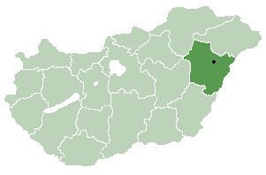
Time zone CET (UTC+1) Area 45.85 km² Local time Sunday 10:27 PM | County Hajdú-Bihar Postal code 4135 Population 1,012 (2015) Area code 54 | |
 | ||
Weather 7°C, Wind SW at 13 km/h, 64% Humidity | ||
Körösszegapáti or Apateu (Romanian) is a village in Hajdú-Bihar county, in the Northern Great Plain region of eastern Hungary.
Contents
Map of K%C3%B6r%C3%B6sszegap%C3%A1ti, 4135 Hungary
Geography
It covers an area of 45.85 km2 (18 sq mi) and has a population of 1012 people (2015).
References
Körösszegapáti Wikipedia(Text) CC BY-SA