
Highest elevation 1,450 m (4,760 ft) Area 12.13 km² Population 10,451 (2009) | Established 1943 Lowest elevation 1,200 m (3,900 ft) Local time Monday 1:30 AM | |
 | ||
Weather 4°C, Wind NE at 13 km/h, 68% Humidity | ||
Kök-Janggak (also Kok-Dzhangak, Kyrgyz: Көк-жаңгак, meaning "green walnut" in Kyrgyz and Uzbek) is a town in the Suzak District of Jalal-Abad Region in western Kyrgyzstan, located at a distance of about 29 km from the regional centre city Jalal-Abad. Its population was 10,451 in 2009.
Contents
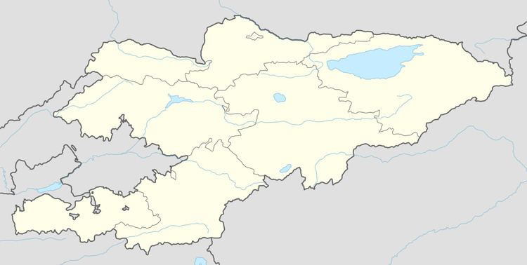
Map of Oktyabr 1, Kyrgyzstan
History
Kök-Janggak originated as a coal-mining settlement in 1910. The upper strata of coal of the Kok-Yangak coal deposit were mined on a small scale until the October Revolution. During the Civil War in Russia the mine was destroyed by basmachi and extraction was suspended. During the First Five-Year Plan new drift mines were developed and an access railroad from Jalal-Abad was built in 1931, resulting in a rapid increase in coal production. In 1943 Kök-Janggak became a town.
Population
The population of Kök-Janggak was 10,341 in 2004; including 8,400 - Kyrgyz, 640 - Uzbek, 540 - Russian, 210 - Tatar, 140 - Kazakh, and 411 - other nationalities.