
Established 1948 Population 33,205 (2015) Local time Sunday 7:13 PM Team Breiðablik UBK | Constituency Southwest Constituency Market right 11 May 1955 Area 83.7 km² Neighborhoods Hjallar, Lindir, Hvammar | |
 | ||
Mayor Ármann Kristinn Ólafsson (IP) Weather -1°C, Wind NW at 23 km/h, 59% Humidity Points of interest SmáraTívolí, Elliðavatn, Listasafn Kópavogs ‑ Gerðarsafn, Kópavogskirkja, Natural History Museum | ||
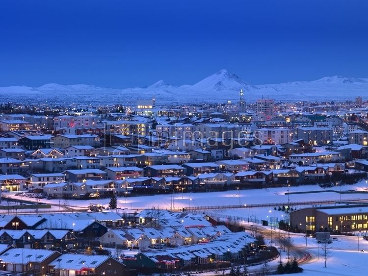
Kópavogur ([ˈkʰoːupavɔɣʏr̥]) is a city and Iceland's second largest municipality by population.
Contents
Map of K%C3%B3pavogur, Iceland
It lies immediately south of Reykjavík and is part of the Capital Region. The name literally means seal pup bay. The town seal contains the profile of the church Kópavogskirkja with a seal pup underneath.
Kópavogur is largely made up of residential areas, but has commercial areas and much industrial activity as well. The tallest building in Iceland, the Smáratorg tower, is located in central Kópavogur.
History
Kópavogur is historically significant as the site of the 1662 Kópavogur meeting. This event marked the total incorporation of Iceland into Denmark-Norway when, on behalf of the Icelandic people, Bishop Brynjólfur Sveinsson and Árni Oddsson, a lawyer, signed a document confirming that the introduction of absolute monarchy by the King also applied to Iceland.
Kópavogur is also one of Iceland's most prominent sites for Icelandic urban legends about the huldufólk; it also features in this capacity in the 2010 film Sumarlandið, where the stone Grásteinn is portrayed as an elf-house in the Kópavogur municipality.
An independent township, Kópavogur is adjacent to Reykjavík.
Sports
Kópavogur's main sports clubs are Gerpla, Breiðablik UBK and HK. In 2010 Breiðablik clinched their first Icelandic league title in football and in 2012 HK won their first Icelandic league title in team handball.