
Time zone EET (UTC+2) Area 701.1 km² Region Northern Ostrobothnia | Charter 1869 Municipal tax rate 20.75% Local time Sunday 8:21 PM | |
 | ||
Area rank 121st largest in Finland Weather -6°C, Wind E at 5 km/h, 78% Humidity | ||
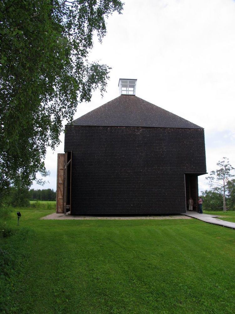
Kärsämäki is a municipality of Finland.
Contents
Map of 86710 K%C3%A4rs%C3%A4m%C3%A4ki, Finland
It is located in the province of Oulu and is part of the Northern Ostrobothnia region. The municipality has a population of 2,656 (31 March 2016) and covers an area of 695.94 square kilometres (268.70 sq mi) of which 6.06 km2 (2.34 sq mi) is water. The population density is 3.82 inhabitants per square kilometre (9.9/sq mi). Neighbour municipalities are Haapajärvi, Haapavesi, Pyhäjärvi, Pyhäntä and Siikalatva.
The name Kärsämäki means literally "snout hill".
The municipality is unilingually Finnish.
Nature
Most common soil type is till.
Over 60% of area is swamp. Bigges swamps are Kärsämäenneva, Lauttaneva, Onkineva and Vellihonganneva.
Pyhäjoki river flows through municipality.
Villages
Notable people
References
Kärsämäki Wikipedia(Text) CC BY-SA