
Native name Rio Jutai Length 1050 km | ||
 | ||
Tributaries | ||
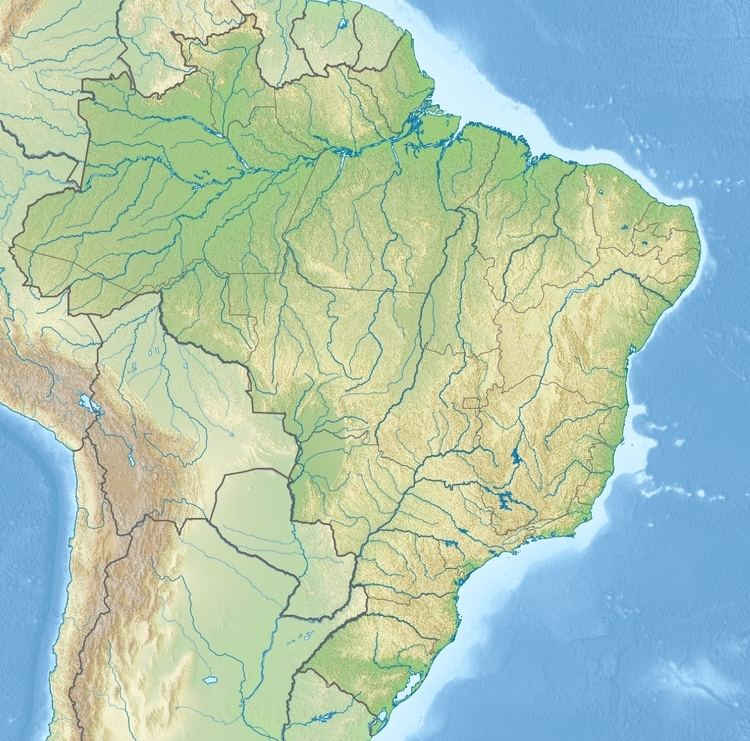
The Jutaí River (Portuguese: Rio Jutaí) is a river in Amazonas state in north-western Brazil.
Contents
Map of Jutai River, Juta%C3%AD - State of Amazonas, Brazil
Course
The Jutaí river runs northeast before reaching its mouth on the southern bank of the Amazon River (Solimões section). It is west of the Juruá River, and is roughly parallel to the lower Juruá.
The 2,450,380 hectares (6,055,000 acres) Cujubim Sustainable Development Reserve, established in 2003, lies on either side of the river in the municipality of Jutaí. It is the largest conservation unit in Amazonas and the largest sustainable development reserve in the world. Further downstream the river forms the boundary between the 275,533 hectares (680,860 acres) Rio Jutaí Extractive Reserve, created in 2002, to the southeast and the Jutaí-Solimões Ecological Station to the northwest.