
Canton Sancergues Area 25.73 km² Local time Thursday 12:36 AM | Time zone CET (UTC+1) Population 526 (1999) | |
 | ||
Weather 6°C, Wind N at 5 km/h, 95% Humidity | ||
Jussy-le-Chaudrier is a commune in the Cher department in the Centre region of France.
Contents
Map of 18140 Jussy-le-Chaudrier, France
Geography
An area of forestry and farming, comprising the village and several hamlets situated in the valley of the river Vauvise, some 23 miles (37 km) east of Bourges, at the junction of the D53, D25 and the D920 roads. The river forms part of the commune's western and northern borders.
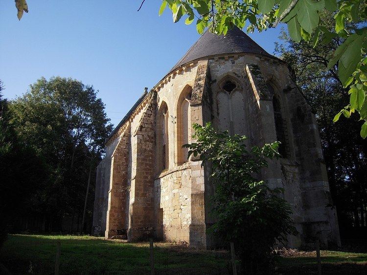
Sights
References
Jussy-le-Chaudrier Wikipedia(Text) CC BY-SA