Climate Cwb Local time Wednesday 1:48 PM | Elevation 1,860 m | |
 | ||
Municipality Juliasdale Town Council Weather 22°C, Wind W at 6 km/h, 43% Humidity | ||
Location
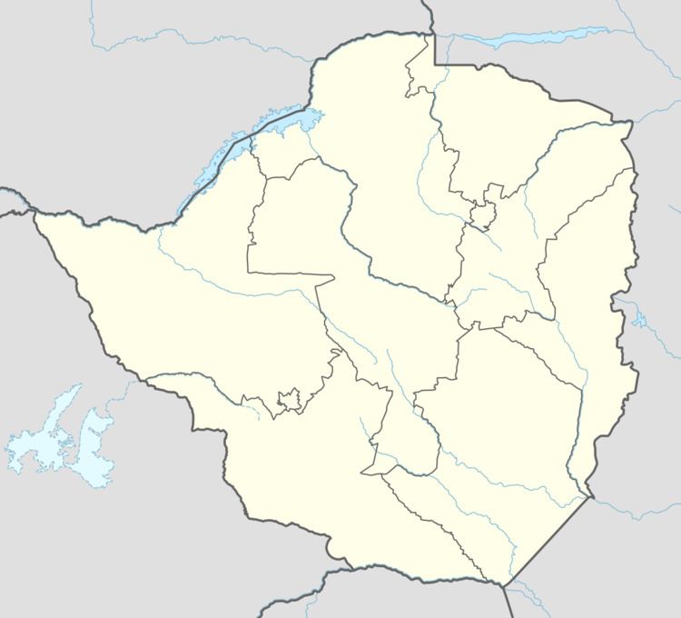
It is located approximately 24 kilometres (15 mi), by road, southwest of the town of Nyanga, where the district headquarters are located. This location lies approximately 83 kilometres (52 mi), by road, directly south of Mutare, the location of the provincial headquarters. The coordinates of Juliasdale are: 18° 22' 3.00"S, 32° 40' 48.00"E (Latitude:18.3675; Longitude:32.6800). Juliasdale is located in the Eastern Highlands, close to the international border with Mozambique. Its location lies within the confines of Nyanga National Park.
Overview
Juliasdale is home to the first casino in the country. The mountainous town is an attractive destination for tourism. Forestry and fruit are farmed in the region. ZB Bank Limited, a commercial bank, maintains a branch in the town.
Population
The current population of Juliasdale is not publicly known. A national population census in Zimbabwe was scheduled from 18 August through 28 August 2012.
