Time zone CET/CEST (UTC+1/+2) Area 6.17 km² Population 1,570 (31 Dec 2008) Dialling code 06130 | Elevation 156 m (512 ft) Postal codes 55270 Local time Wednesday 9:41 AM Postal code 55270 | |
 | ||
Weather 9°C, Wind W at 8 km/h, 79% Humidity | ||
Jugenheim in Rheinhessen is an Ortsgemeinde – a municipality belonging to a Verbandsgemeinde, a kind of collective municipality – in the Mainz-Bingen district in Rhineland-Palatinate, Germany.
Contents
- Map of Jugenheim in Rheinhessen Germany
- Location
- History
- Town council
- Town partnerships
- Coat of arms
- Buildings
- Sport
- References
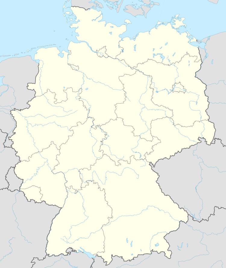
Map of Jugenheim in Rheinhessen, Germany
Location
Jugenheim lies in the middle among Mainz, Bingen, Alzey and Bad Kreuznach in Rhenish Hesse. The winegrowing centre belongs to the Verbandsgemeinde of Nieder-Olm, whose seat is in the like-named town.
History
In 767, Jugenheim had its first documentary mention as Gaginheim. Since 1987, Jugenheim has been a recognized village renewal municipality (Dorferneuerungsgemeinde).
Town council
The council is made up of 17 council members, counting the part-time mayor, with seats apportioned thus:
(as at municipal election held on 13 June 2004)
Town partnerships
Coat of arms
The municipality’s arms might be described thus: Azure semy of crosses argent a lion rampant of the second armed, langued and crowned gules.
Buildings
Saint Martin’s Church (Martinskirche, Evangelical) was consecrated in 1775 and with seating for 1,000 worshippers is one of Rhenish Hesse’s biggest churches. Its Wegmann organ from 1762 together with the original organ balustrade comes from the old Welschnonnenkirche – once a convent church, now no longer standing – in Mainz.
