
Founded by Francisco Juanicó Time zone UTC -3 | Elevation 44 m (144 ft) Postal code 90400 | |
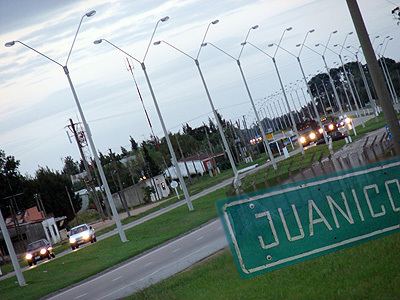 | ||
Juanicó is a small industrial town located 35 km north of Montevideo, within the Canelones Department, Uruguay.
Contents
Map of Juanico, Canelones Department, Uruguay
Location
The town is located just east of Route 5, about 8 kilometres (5.0 mi) south of the city of Canelones. The railroad tracks Montevideo - 25 de Agosto pass through the town.
History
The town owes its current denomination to Francisco Juanicó, who, in 1830, finished with cattle raising. He then built up a winery who enabled him to produce high-quality wine, mainly due to the favorable conditions of the land.
On 19 November 2002, the status of the populated centre was elevated to "Villa" (town) by the Act of Ley Nº 17.587.
Population
In 2011 Juanicó had a population of 1,305.
Source: Instituto Nacional de Estadística de Uruguay
Places of worship
References
Juanicó Wikipedia(Text) CC BY-SA