
Population 28,550 (2011) | Time zone IST (UTC+5:30) Local time Wednesday 2:11 AM | |
 | ||
Weather 15°C, Wind W at 6 km/h, 57% Humidity | ||
Joya is a city in Amroha district in the state of Western Uttar Pradesh.It is predominantly Milk Producing City. Joya is a gram panchayat before 1979. Late Abrar Hussain was the first chairman of joya in 1988.
Contents
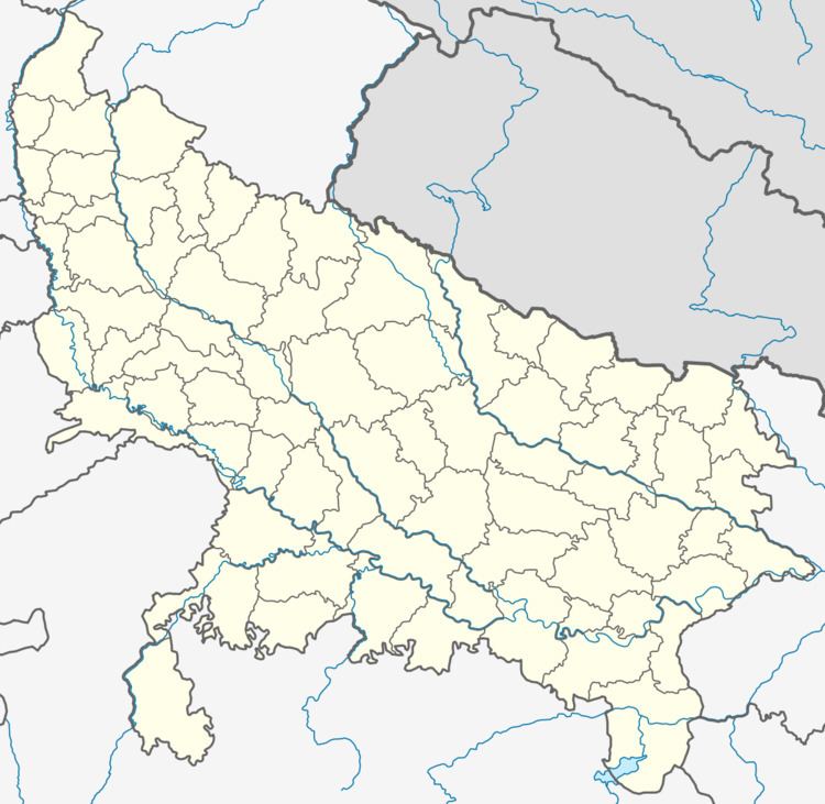
- Map of Joya Uttar Pradesh 244222
- The Location
- Industries
- The growth in development
- Major distances
- Conclusion
- Demographics
- Local Dances
- Handicrafts
- References
Map of Joya, Uttar Pradesh 244222
The Location
Joya is a Township Area located at National Highway No.24 just 128 kilometres from Delhi.It is near National Capital Region as Hapur and Gajraula are near here.
Industries
The city of Joya is known for Milk Farms producing very high quality of milk.Many people are employed in this industry.It is also getting industries like steel,glass,polymers like PTFE,PAN,PMMA,BUNA-S,Neoprene,Fibres,Plexiglass,Synthetic Materials,Nylon 6,66,6-10 and textiles.
The growth in development
The growth rate is very high for industries here,due to well developed infrastructure in Joya. Delhi Mumbai Industrial Corridor Project
The Delhi Mumbai Industrial Corridor Project is a State-Sponsored Industrial Development Project of the Government of India. It is an ambitious project aimed at developing an Industrial Zone spanning across six states in India. The project will see major expansion of Infrastructure and Industry – including industrial clusters and rail, road, port, air connectivity – in the states along the route of the Corridor.The ambitious Delhi Mumbai Industrial Corridor (DMIC) has received major boost with India and Japan inking an agreement to set up a project development fund.The initial size of the Fund will be Rs 1,000 Crore (about $212 million). Both the Japanese and Indian governments contribute equally.
The corridor would include six mega investment regions of 200 square kilometers each and will run through seven states Delhi, Western Uttar pradesh,Southern Haryana,Eastern Rajasthan,Eastern Gujarat,Western Maharashtra.Indrapuram-Moradabad-Kashipur-Haldwani is one of the investment regions selected for development in the first phase of ambitious Delhi-Mumbai Industrial Corridor.More than 59 per cent of Western Uttar Pradesh's area comes under the project area of this ambitious DMIC project, which is extended up to 150 km on both sides of the alignment of Delhi-Mumbai Dedicated Freight Corridor. This would open a floodgate of opportunities all along NH-58, NH-2,Yamuna Expressway and NH-24 for developing industrial, urban and supporting infrastructure through public-private initiatives,seven Investment Regions and 13 industrial areas have been planned along this Corridor and Hapur-Moradabad-Rudrapur-Khatima is one of the investment regions selected for development in the first phase.The Growth Centre Bawal has been evolved as a mega industrial hub and large numbers of multi-national companies have selected Gajraula as their manufacturing base.
Major distances
Conclusion
The above distances show that this place is near to important areas of neighbouring states rather than its own state. Even Chandigarh (Capital of Punjab & Haryana) is near to it than state capital Lucknow. The demographics, language, culture, tradition and activities are much different from Eastern U.P., yet many people don't want to form Harit Pradesh. The area is much under development and the route to "DEVBHOOMI : GREEN & CLEAN UTTARAKHAND'S KUMAON" is also from here. The area is very close to N.C.R. i.e. Hapur is nearby. Moradabad, Rudrapur, Gajraula, Kashipur and Ghaziabad are very close to the city.
Demographics
As of 2011 India census, Joya is a Nagar Panchayat located at National Highway No.24 just 128 kilometres from Delhi.Joya had a population of 18377. Males constitute 53% of the population and females 47%. Joya has an average literacy rate of 85%, higher than the national average of 74.07%: male literacy is 86%, and female literacy is 82%. In Joya, 12% of the population is under 6 years of age. mr b h pasha lived here he is in itbp force he is the only itbp'ian of turk community
Local Dances
The culture and popular arts are Saangs, dramas, ballads and songs in which they take great delight. Loor, Gugga, Jhumar, Teej dance are some of the famous local dances here. There are also Ghazal Evenings, Taj Show, Nurmahal Show, Mushaira and various shows organised in Joya.
There is a large number of mirashi caste here. The main occupation of mirashis is singing of qawallis, mushairas, DJ etc.
Handicrafts
The handicrafts of Joya include wooden handicrafts such as wooden boxes, gift boxes, wooden utensils, wooden toys, furniture etc. This is also seen as good way to make business ahead.