
Time zone EST (UTC-5) Area 505 km² Local time Tuesday 3:46 PM | Established February 26, 1866 Area code(s) +53-45 Elevation 45 m | |
 | ||
Founded 1842 (Corral de la Bemba) Weather 29°C, Wind NW at 23 km/h, 51% Humidity | ||
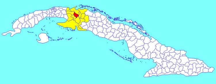
Jovellanos is a municipality and town in the Matanzas Province of Cuba.
Contents
Map of Jovellanos, Cuba
Overview
The municipality is divided into the barrios of Asunción, Isabel, Realengo and San José.
It was founded in 1842 as Corral de la Bemba on the location of an old ranch called Bemba. It took its current name in 1870, in honor of the Spanish writer Gaspar Melchor de Jovellanos. The same year it achieved the status of villa (town).
Jovellanos is also called "Bemba" by its inhabitants and locals. "Bemba" means "big lip" in Cuban Spanish; this term refers to the black population of the city. To outsiders, it may have negative racial overtones, but in the city this is not the case. Inside Jovellanos, the black and white population for the most part live harmoniously, side by side. Therefore, "Bemba" is an affectionate name for the town used by locals.
Jovellanos is an industrial town, with large and small factories, while sugar cane is cultivated in the surrounding areas.
Demographics
In 2004, the municipality of Jovellanos had a population of 58,685. With a total area of 505 km2 (195 sq mi), it has a population density of 116.2/km2 (301/sq mi).