
Time zone CET (UTC+1) Area 33.41 km² | Population (2009) 36,000 INSEE/Postal code 37122 /37300 Local time Tuesday 8:22 PM | |
 | ||
Weather 11°C, Wind N at 6 km/h, 70% Humidity | ||
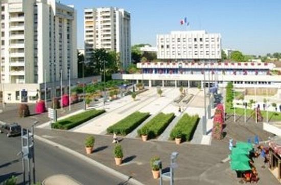
Joué-lès-Tours ([ʒwelɛtuʁ]) is a commune in the Indre-et-Loire department in central France.
Contents
- Map of JouC3A9 lC3A8s Tours France
- Championnats de france cadets de sabres jou l s tours
- Toponymy
- Controversy
- References
Map of Jou%C3%A9-l%C3%A8s-Tours, France
It is the largest suburb of the city of Tours, and is adjacent to it on the southwest.
Championnats de france cadets de sabres jou l s tours
Toponymy
The name of Joué-lès-Tours appears in its form "Gaudiacus" in the 6th Century. It corresponds to a toponymic type frequently found in Christian Gaule, that gave different variants depending on the region: Joué (west of France), Jouy (center and north), Jouey (east), Gouy (Normandy/Picardy), Gaugeac, Jaujac (south). It is composed of the Christian name "Gaudius", meaning "fortunate", "blessed" (gaudia > joy, in Latin) and with the Gallo-Roman suffix -ACU, meaning "place of", "property of".
Controversy
In February 2010 the mayor, Philippe Le Breton, added the word laïcité underneath the French national motto on the town hall's façade. The Muslim community of Joué-lès-Tours felt they were being "caricatured".