
 | ||
Roads of nigeria 2010 from jos plateau state to nasarawa state
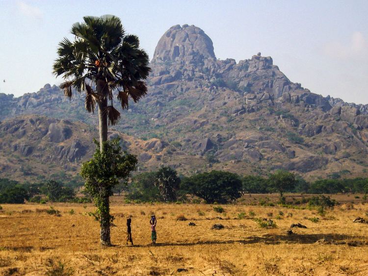
The Jos Plateau is a plateau located near the centre of Nigeria. It covers 8600 km² and is bounded by 300-600 meter escarpments around much of its circumference. With an average altitude of 1280 metres it is the largest area over 1000 metres in Nigeria, with a high point of 1829 metres in the Shere Hills. The plateau has given its name to the State, Plateau State in which it is found and is itself named for the state's capital, Jos.
Contents
- Roads of nigeria 2010 from jos plateau state to nasarawa state
- Map of Jos Plateau Nigeria
- Abuja and jos plateau state 2nd digital tv switch over
- GeologyEdit
- ClimateEdit
- HistoryEdit
- Language and cultureEdit
- FaunaEdit
- Threats and preservationEdit
- References
Map of Jos Plateau, Nigeria
Abuja and jos plateau state 2nd digital tv switch over
GeologyEdit
The Jos Plateau is dominated by three rock types. The Older Granites date to the late Cambrian and Orduvician. The Younger Granites are emplacements dating to the Jurassic, and forming part of a series that includes the Aïr Massif in the central Sahara. There are also many volcanoes and sheets of basalt extruded since the Pliocene (Morgan 1983).
The Younger Granites contain tin which was mined since the beginning of the 20th century, during and after the colonial period.
Important rivers are Kaduna, Gongola, Hadejia and Yobe, which have their source in this place.
ClimateEdit
The climate on the Plateau is the semi-temperate climate with temperatures ranging from 18 °C (64.4 °F) to 25 °C (77.0 °F).
HistoryEdit
The Jos Plateau is home to the ancient Nok culture, known for its remarkable terracotta artwork.
After the British colonization of Nigeria, Jos Plateau became a mining region and one of the most important tourist destinations in Nigeria, but touristic activity was impeded in early 21st century by a new conflict between Christians and Muslims as a result of tribal and political differences between the inhabitants of the Jos Plateau.
Language and cultureEdit
The Jos Plateau lies in the Nigerian Middle Belt, and even in this region known for cultural diversity, it is unusually diverse. Barbour et al. (1982:49) show over 60 ethno-linguistic groups on the plateau. Most of the plateau's languages are in the Chadic family (Isichei 1982), which is part of the Afro-Asiatic family. Two of the Plateau's largest ethnic groups are the Berom, in the northern Plateau, and the Angas in the southeast. Smaller groups include the Mwaghavul, Pyem, Ron, Afizere, Anaguta, Aten, Irigwe, Chokfem, and Kofyar.
FaunaEdit
The plateau is home to West Africa’s only population of klipspringer (Oreotragus oreotragus), as well as several endemic birds and mammals, including Nigerian mole-rat (Cryptomys foxi) and Fox's shaggy rat (Dasymys foxi) the rock firefinch (Lagonosticta sanguinodorsalis) and the Jos Plateau indigobird (Vidua maryae).
Threats and preservationEdit
The Jos plateau is a heavily populated area with loss of native savanna and woodland to farmland conversion and firewood collection; remaining native fauna is predominately limited to small areas in the more remote areas and river embankments. There is currently no conservation program for this ecoregion.
Due to tin mining activity some 320 km² of agricultural land has been disturbed. The situation has been improved since by local farmers due to usage of traditional as well as modern fertilisation methods which combined includes manure, urban waste ash and inorganic fertilizers.