
Time zone UTC -3 Dial plan +598 4455 (+4 digits) Local time Tuesday 9:46 AM | Postal code 30300 Population 5,118 (2011) | |
 | ||
Weather 19°C, Wind NW at 8 km/h, 68% Humidity | ||
José Pedro Varela is a small city in the north of Lavalleja Department of southeastern Uruguay. It is named after the sociologist and politician José Pedro Varela.
Contents
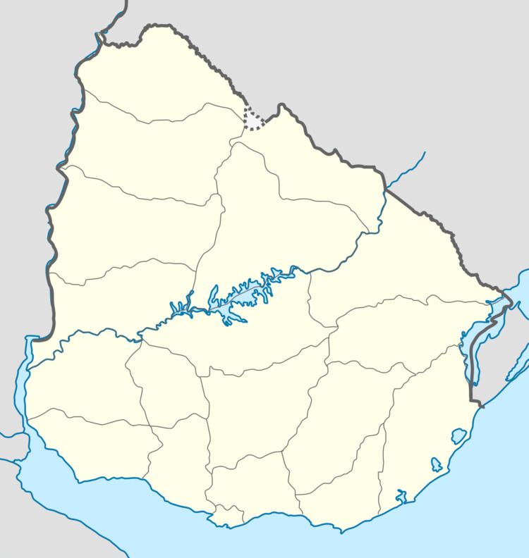
- Map of JosC3A9 Pedro Varela Lavalleja Department Uruguay
- Location
- History
- Population
- Places of worship
- References
Map of Jos%C3%A9 Pedro Varela, Lavalleja Department, Uruguay
Location
The city is located on Route 8 and the banks of Arroyo Corrales, which is the border with Treinta y Tres Department, about 27 kilometres (17 mi) south of the city of Treinta y Tres and 135 kilometres (84 mi) northeast of the department capital Minas.
History
A populated centre was founded here on 24 August 1898. On 1 February 1918, its status was elevated to "Pueblo" (village) by decree Ley N° 5.639 and on 16 October 1958 to "Villa" (town) by decree N° 12.553 It received the status of "Ciudad" (city) on 19 November 1967 by decree Ley Nº 13.631.
Population
In 2011, José Pedro Varela had a population of 5,118.
Source: Instituto Nacional de Estadística de Uruguay