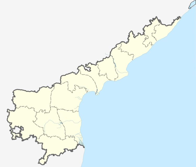
Country India District Guntur Time zone IST (UTC+5:30) Elevation 22 m Local time Tuesday 12:11 AM | State Andhra Pradesh Mandal Guntur PIN 522034 Area 9.17 km² Population 4,847 (2011) | |
 | ||
Weather 27°C, Wind SE at 6 km/h, 88% Humidity | ||
Jonnalagadda is a village in Guntur district of the Indian state of Andhra Pradesh. It is located in Guntur mandal of Guntur revenue division.
Contents
Map of Jonnalagadda, Andhra Pradesh 522034
Transport
Guntur is the nearest city to Jonnalagadda at a distance of 11 km. Namburu and Pedakakani Halt railway stations are the nearest stations to Jonnalagadda. Venigandla road connects the village with Asian Highway 45.
References
Jonnalagadda, Guntur district Wikipedia(Text) CC BY-SA
