
 | ||
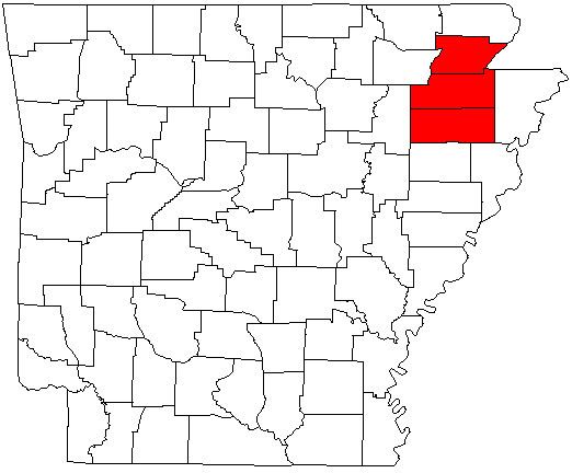
The Jonesboro-Paragould Combined Statistical Area is made up of three counties in northeastern Arkansas. The CSA consists of the Jonesboro Metropolitan Statistical Area and the Paragould Micropolitan Statistical Area. As of the 2010 census, the CSA had a population of 163,116.
Contents
Counties
Places with more than 60,000 inhabitants
Places with more than 20,000 inhabitants
Places with 1,000 to 10,000 inhabitants
Places with less than 1,000 inhabitants
Demographics
As of the census of 2000, there were 145,093 people, 57,077 households, and 40,029 families residing within the CSA. The racial makeup of the CSA was 91.68% White, 5.70% African American, 0.34% Native American, 0.41% Asian, 0.02% Pacific Islander, 0.78% from other races, and 1.08% from two or more races. Hispanic or Latino of any race were 1.75% of the population.
The median income for a household in the CSA was $29,937, and the median income for a family was $36,754. Males had a median income of $28,178 versus $20,228 for females. The per capita income for the CSA was $15,527.