
Country United States ZIP code 36749 Elevation 61 m | Time zone Central (CST) (UTC-6) Area code(s) 334 Local time Monday 1:07 PM | |
 | ||
Weather 9°C, Wind E at 10 km/h, 84% Humidity | ||
Jones, originally Jones Switch, is an unincorporated community in Autauga County, Alabama, United States. The name was officially shortened on May 1, 1903. The community has a post office, with postmasters appointed from 1878 to 2006. The post office also serves unincorporated areas of Autauga County such as Vine Hill, Fremont, Bethel, Salem, Milton, and Fig Tree.
Contents
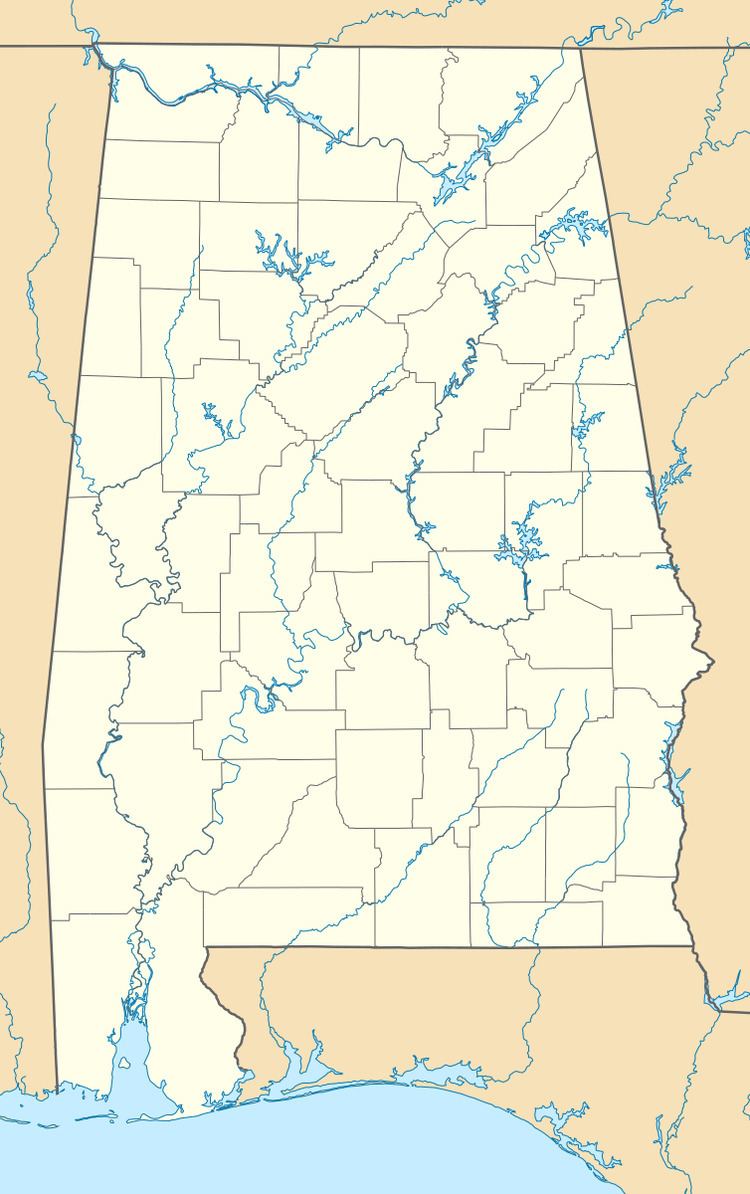
Map of Jones, AL 36749, USA
Geography
Jones is located at 32.58402°N 86.89748°W / 32.58402; -86.89748 and has an elevation of 200 feet (61 m). Mulberry Creek is located to the west and rolling hills are located to the east.
References
Jones, Alabama Wikipedia(Text) CC BY-SA