
Basin size 2,636 km (1,018 sq mi) Basin area 2,636 km² Mouth elevation 0 | River system Johor River Length 123 km | |
 | ||
Main source Mt Gemuruh109 m (358 ft) River mouth Strait of Johor0 m (0 ft) Tributaries Left:Linggui River; Lebam RiverRight:Sayong River; Semengar River; Tiram River Bridges | ||
Malaysia johor river firefly
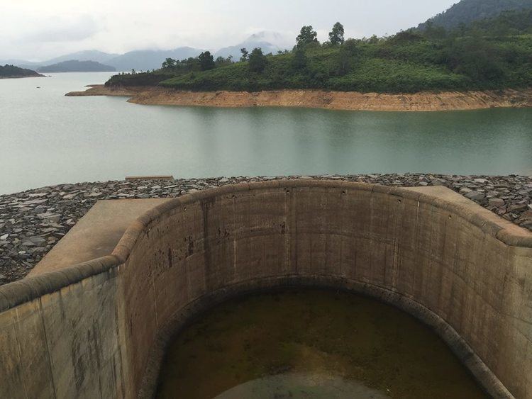
The Johor River (Malay: Sungai Johor) is the main river in the Malaysian state of Johor. The river is 122.7 km long with a catchment of 2,636 km² and flows in a roughly north-south direction, originating from Mount Gemuruh and then empties into the Strait of Johor. Its major tributaries are Sayong, Linggui, Tiram and Lebam Rivers. Its banks are also known to be the location of past capitals of Johor. The Sungai Johor Bridge, officially opened in June 2011, is the first bridge to span the river and is currently the longest river bridge in Malaysia.
Contents
Map of Johor River, Johor, Malaysia
Wildlife
Evidence of the presence of a viable breeding population of dugongs in the waters of the Johor River estuary was collected between 1974 and 1989.
References
Johor River Wikipedia(Text) CC BY-SA