
Established 1839 Population 660 (2011) | Time zone AST (UTC-4) | |
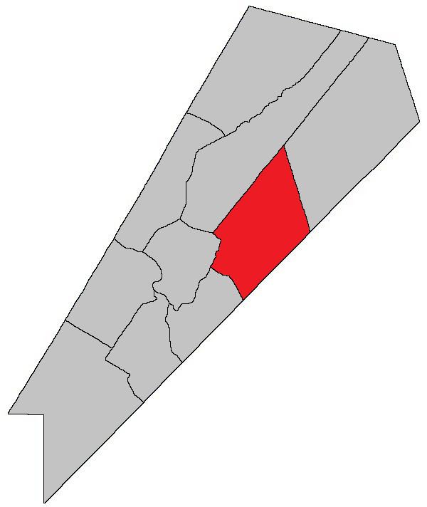 | ||
Johnston Parish is a Canadian parish in Queens County, New Brunswick.
Contents
- Map of Johnston NB Canada
- History
- Delineation
- Communities
- Bodies of water Islands
- Access Routes
- References
Map of Johnston, NB, Canada
History
Johnston Parish established in 1839 from Wickham Parish: named for Hugh Johnston (1790-1850), who was a Member of the Legislative Assembly of New Brunswick: his father, Hugh Johnston (1756-1829), was also a Member of the Legislative Assembly.
Delineation
Johnston Parish is defined in the Territorial Division Act as being bounded:
Southwest by Wickham and Cambridge Parishes; northwest by the prolongation of a line running north fifty-four degrees east by the magnet of the year one thousand seven hundred and eighty-six, from the west angle of the grant to Samuel Hughes, at Lower Cambridge; east by the east line of lot number eleven, granted to A.C. Starrit, on the north side of the Canaan River above Coles Island and its northern and southern prolongation, and southeast by the County line.Communities
Parish population total does not include incorporated municipalities (in bold).
Bodies of water & Islands
This is a list of rivers, lakes, streams, creeks, marshes and Islands that are at least partially in this parish
Access Routes
Highways and numbered routes that run through the parish, including external routes that start or finish at the parish limits:
References
Johnston Parish, New Brunswick Wikipedia(Text) CC BY-SA