
Time zone CST (UTC-6) Elevation 189 m Local time Monday 12:52 AM | Established November 7, 1865 ZIP codes 62555, 62556, 62568 Area 96.5 km² Population 673 (2010) | |
 | ||
Weather 1°C, Wind SE at 16 km/h, 51% Humidity | ||
Johnson Township is one of seventeen townships in Christian County, Illinois, USA. As of the 2010 census, its population was 673 and it contained 282 housing units.
Contents
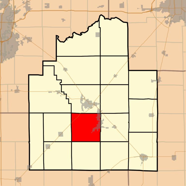
- Map of Johnson Township IL USA
- Geography
- Cities towns villages
- Cemeteries
- Major highways
- School districts
- Political districts
- References
Map of Johnson Township, IL, USA
Geography
According to the 2010 census, the township has a total area of 37.26 square miles (96.5 km2), of which 35.63 square miles (92.3 km2) (or 95.63%) is land and 1.63 square miles (4.2 km2) (or 4.37%) is water.
Cities, towns, villages
Cemeteries
The township contains these three cemeteries: Anderson, Brush Creek and Mound Chapel United Brethren.
Major highways
School districts
Political districts
References
Johnson Township, Christian County, Illinois Wikipedia(Text) CC BY-SA