
Country United States Time zone CST (UTC-6) Elevation 180 m Local time Monday 12:52 AM | Established November 7, 1854 ZIP codes 62420, 62442, 62449 Area 94.69 km² Population 383 (2010) | |
 | ||
Weather 0°C, Wind NE at 8 km/h, 58% Humidity | ||
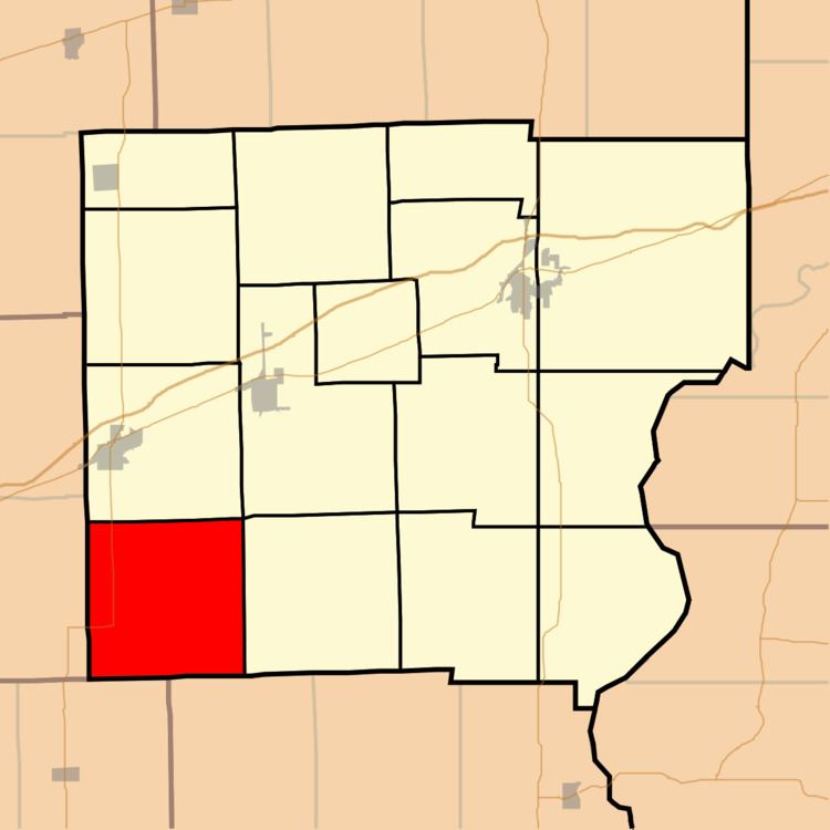
Johnson Township is one of fifteen townships in Clark County, Illinois, USA. As of the 2010 census, its population was 383 and it contained 165 housing units.
Contents
- Map of Johnson Township IL USA
- Geography
- Unincorporated towns
- Cemeteries
- Major highways
- School districts
- Political districts
- References
Map of Johnson Township, IL, USA
Geography
According to the 2010 census, the township has a total area of 36.56 square miles (94.7 km2), of which 36.46 square miles (94.4 km2) (or 99.73%) is land and 0.1 square miles (0.26 km2) (or 0.27%) is water.
Unincorporated towns
(This list is based on USGS data and may include former settlements.)
Cemeteries
The township contains these six cemeteries: Baughman, Mound, Restitution, Walnut, Partlow, and Slusser.
Major highways
School districts
Political districts
References
Johnson Township, Clark County, Illinois Wikipedia(Text) CC BY-SA