
Country United States FIPS code 27-32012 Elevation 345 m Local time Monday 1:02 AM | Time zone Central (CST) (UTC-6) GNIS feature ID 0645674 Area 78 ha Population 28 (2013) | |
 | ||
Weather -9°C, Wind NE at 21 km/h, 83% Humidity | ||
Johnson is a city in Big Stone County, Minnesota, United States. The population was 29 at the 2010 census.
Contents
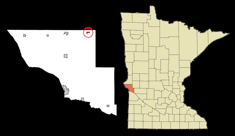
Map of Johnson, MN, USA
Geography
According to the United States Census Bureau, the city has a total area of 0.30 square miles (0.78 km2), all of it land.
Minnesota State Highway 28 serves as a main route in the community.
2010 census
As of the census of 2010, there were 29 people, 15 households, and 9 families residing in the city. The population density was 96.7 inhabitants per square mile (37.3/km2). There were 17 housing units at an average density of 56.7 per square mile (21.9/km2). The racial makeup of the city was 100.0% White. Hispanic or Latino of any race were 3.4% of the population.
There were 15 households of which 13.3% had children under the age of 18 living with them, 60.0% were married couples living together, and 40.0% were non-families. 33.3% of all households were made up of individuals and 13.4% had someone living alone who was 65 years of age or older. The average household size was 1.93 and the average family size was 2.44.
The median age in the city was 57.3 years. 13.8% of residents were under the age of 18; 0.0% were between the ages of 18 and 24; 13.7% were from 25 to 44; 55.1% were from 45 to 64; and 17.2% were 65 years of age or older. The gender makeup of the city was 44.8% male and 55.2% female.
2000 census
As of the census of 2000, there were 32 people, 16 households, and 9 families residing in the city. The population density was 103.7 people per square mile (39.9/km²). There were 16 housing units at an average density of 51.9 per square mile (19.9/km²). The racial makeup of the city was 100.00% White.
There were 16 households out of which 18.8% had children under the age of 18 living with them, 50.0% were married couples living together, 6.3% had a female householder with no husband present, and 43.8% were non-families. 37.5% of all households were made up of individuals and 6.3% had someone living alone who was 65 years of age or older. The average household size was 2.00 and the average family size was 2.67.
In the city, the population was spread out with 9.4% under the age of 18, 9.4% from 18 to 24, 15.6% from 25 to 44, 53.1% from 45 to 64, and 12.5% who were 65 years of age or older. The median age was 49 years. For every 100 females there were 146.2 males. For every 100 females age 18 and over, there were 141.7 males.
The median income for a household in the city was $38,125, and the median income for a family was $39,375. Males had a median income of $28,750 versus $9,375 for females. The per capita income for the city was $20,759. There were no families and 5.4% of the population living below the poverty line, including no under eighteens and none of those over 64.