- location Cathlamet Bay | - elevation 467 ft (142 m) - elevation 3 ft (1 m) | |
 | ||
Source Northern Oregon Coast Range | ||
The John Day River is a tributary of the Columbia River, approximately 6 miles (10 km) long, in northwestern Oregon in the United States. The river rises in the Northern Oregon Coast Range in Clatsop County at 46.138889°N 123.704722°W / 46.138889; -123.704722 (John Day River source).
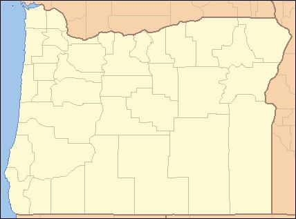
Map of John Day River, Oregon, USA
Flowing generally north, the river enters the Columbia at John Day Point, east of Tongue Point and about 4 miles (7 km) east of Astoria. It passes under U.S. Route 30 near the unincorporated community of John Day (not to be confused with the city of the same name in Grant County). The mouth of the river is about 15 miles (24 km) upstream from the mouth of the Columbia on the Pacific. The John Day River has only one named tributary, Jack Creek, which enters from the left.
The river is named for John Day, a hunter and fur trapper who took part in William Price Hunt's overland expedition for John Jacob Astor in 1811–12. John Day Point takes its name from the river, as did a former railway station in the vicinity. Lewis and Clark, who camped near here in 1805, referred to the river as Kekemarke, their version of a Native American name.
