
Postcode(s) 3381 Postal code 3381 | Local time Sunday 4:06 PM | |
 | ||
Location 229 km (142 mi) WNW of Melbourne116 km (72 mi) NW of Ballarat42 km (26 mi) N of Ararat23 km (14 mi) E of Stawell Weather 26°C, Wind NW at 16 km/h, 31% Humidity | ||
Joel Joel is an agricultural community located 23km east of Stawell in the Wimmera region of Victoria, Australia. It comprises a small village centre of scattered houses and larger farms.
Contents
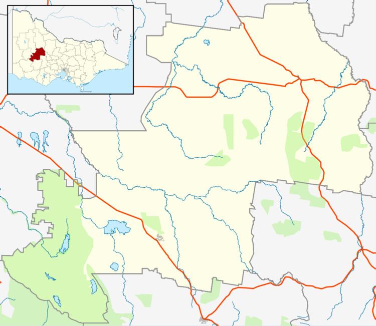
- Map of Joel Joel VIC 3384 Australia
- Before European settlement
- Early years
- Modern period
- Facilities and Attractions
- References
Map of Joel Joel VIC 3384, Australia
Before European settlement
The traditional owners of the area are the Dja Dja Wurrung or Jaara people who are part of the larger Kulin nation.
Early years
Joel Joel Post Office opened on 19 August 1892, closed in 1895, reopened in 1902 and closed again in 1965.
Modern period
In 1914 a railway line was established to connect Joel Joel and other nearby towns to the main line to the south which ran between Ararat and Avoca.
Facilities and Attractions
A new CFA Fire Station was opened on 18 March 2011 by Parliamentary Secretary Bill Tilley MP.
References
Joel Joel, Victoria Wikipedia(Text) CC BY-SA