
Sub-provincial city Changchun Postal code 1305XX Area 2,857 km² Population 611,670 (2010) | Time zone China Standard (UTC+8) 9 Yushu Local time Sunday 5:37 AM Province Jilin | |
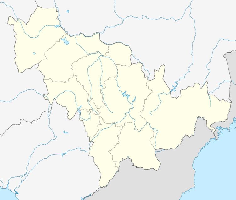 | ||
Country People's Republic of China Changchun district map Subdivisions of Changchun, Jilin
1
2
3
4
5
6
7
8
9
10
Core
1
Nanguan
2
Kuancheng
3
Chaoyang
4
Erdao
5
Luyuan
Suburban
6
Shuangyang
Satellite
8
Jiutai
9
Yushu
10
Dehui
Rural
7
Nong'an Co. Weather -3°C, Wind SW at 14 km/h, 76% Humidity Points of interest Batai Mountain, Miaoxiang Mountain Snow & Ice Paradise, Changchunmiao Xiangshan Ski Field | ||
Jiutai (Chinese: 九台; pinyin: Jiǔtái; literally: "nine platforms") is a district under the jurisdiction of Changchun, the capital of Jilin province, People's Republic of China. The district is surrounded by agricultural areas and is located around 50 kilometres (31 mi) northeast of downtown Changchun. Coal mining also is present in Jiutai. It borders Dehui to the north, Erdao District to the southwest, Kuancheng District to the west, as well as the prefecture-level city of Jilin to the south and east.
Contents
Map of Jiutai, Changchun, Jilin, China
Administrative divisions
There are 5 subdistricts, 9 towns, and 2 ethnic townships.
Subdistricts:
Towns:
Townships:
References
Jiutai District Wikipedia(Text) CC BY-SA