Population 3.2 Postal code 410699 Local time Sunday 3:29 AM Area code 0731 | County-level city Ningxiang County Area 65.8 km² | |
 | ||
Country People's Republic of China Weather 14°C, Wind N at 5 km/h, 87% Humidity | ||
Jinghuapu Township (simplified Chinese: 菁华铺乡; traditional Chinese: 菁華鋪鄉; pinyin: Jīnghuápù Xiāng) is an rural township in Ningxiang County, Changsha City, Hunan Province, China. It is surrounded by Meitanba Town on the west, Yuejiaqiao Town on the north, Shuangjiangkou Town on the east, and Baimaqiao Subdistrict and Chengjiao Subdistrict on the south. As of the 2000 census it had a population of 31,569 and an area of 65.8 square kilometres (25.4 sq mi).
Contents
- Map of Jinghuapuzhen Ningxiang Changsha Hunan China
- Administrative division
- Economy
- Culture
- Transportation
- References
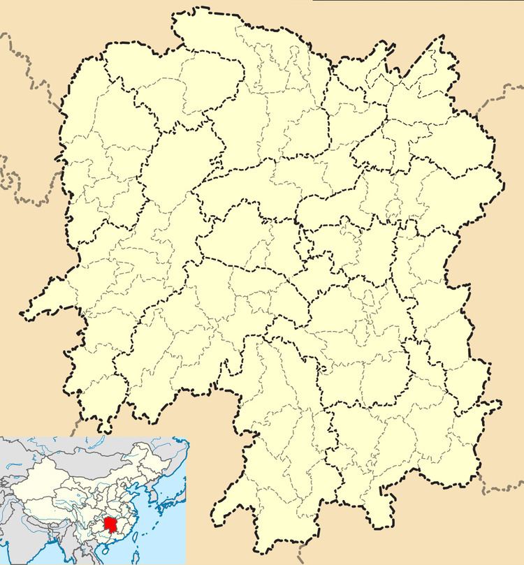
Map of Jinghuapuzhen, Ningxiang, Changsha, Hunan, China
Administrative division
The township is divided into ten villages: Zhangshan Village (嶂山村), Longwang Village (龙王村), Chenjiaqiao Village (陈家桥村), Sihai Village (泗海村), Honglunshan Village (洪仑山村), Jinghuapu Village (菁华铺村), Wanlong Village (万龙村), Bajiawan Village (八家湾村), Fujiatang Village (傅家塘村) and Taolinqiao Village (桃林桥村).
Economy
Citrus, peach and tobacco are important to the economy.
Culture
Huaguxi is the most influence form of local theatrical performance.
Transportation
National Highway 319 (国道319), 1824 Provincial Highway (省道1824线) and some county rural roads run through the town. The 319 National Highway runs from the township to Yiyang City. The Changchang Highway (长常高速公路) runs through Shuangjiangkou Town, Chengjiao Township, Jinghuapu Township. The 1824 Provincial Highway (1824省道) from Jinghuapu Township, runs through Meitanba Town to Taojiang County.
