
Postal code 666400 Elevation 946 m | GB/T 2260 CODE 530824 Area 7,550 km² Area code 0879 | |
 | ||
Time zone China Standard Time (UTC+8) | ||
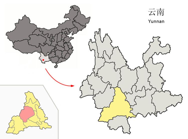
Jinggu Dai and Yi Autonomous County (景谷傣族彝族自治县; pinyin: Jǐnggǔ dǎizú yízú Zìzhìxiàn) is an autonomous county under the jurisdiction of Pu'er Prefecture, Yunnan Province, China.
Contents
Map of Jinggu, Pu'er, Yunnan, China
Ethnic groups
The Jinggu County Almanac (1993:682) lists the following ethnic groups and their locations.
2014 earthquake
On October 7, 2014 a magnitude 6.6 earthquake struck the Jinggu county at 9:49 p.m. local time. The earthquake was felt in many parts of Yunnan including the provincial capital, Kunming, nearly 300 miles away.
References
Jinggu Dai and Yi Autonomous County Wikipedia(Text) CC BY-SA