
Time zone EST (UTC-5) Elevation 125 m Founded 25 January 1701 | Established 1701 Area code(s) +53-23 Area 646 km² Local time Saturday 10:20 AM | |
 | ||
Weather 28°C, Wind E at 10 km/h, 50% Humidity | ||
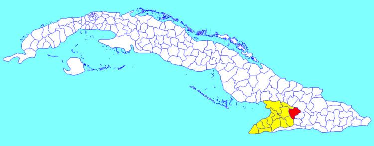
Jiguaní ([xiɣwaˈni]) is a town and municipality in the Granma Province of Cuba. It is located 25 kilometres (16 mi) east of Bayamo, the provincial capital.
Contents
Map of Jiguani, Cuba
Overview
The municipality is divided into the barrios of Babiney, Baire, Bijagual, La Villa, Los Negros, Maffo, Rihito and Santa Rita.
The name "Jiguaní" is of Taíno origin, and means "height of the river". The town of Jiguaní was a stronghold and a starting point in the independence war of 1895.
Demographics
In 2004, the municipality of Jiguaní had a population of 60,320. With a total area of 646 km2 (249 sq mi), it has a population density of 93.4/km2 (242/sq mi).
References
Jiguaní Wikipedia(Text) CC BY-SA