
Country India District Hooghly ISO 3166 code IN-WB Population 1,150 (2011) | State West Bengal Time zone IST (UTC+5:30) Vehicle registration WB Government body Gram panchayat | |
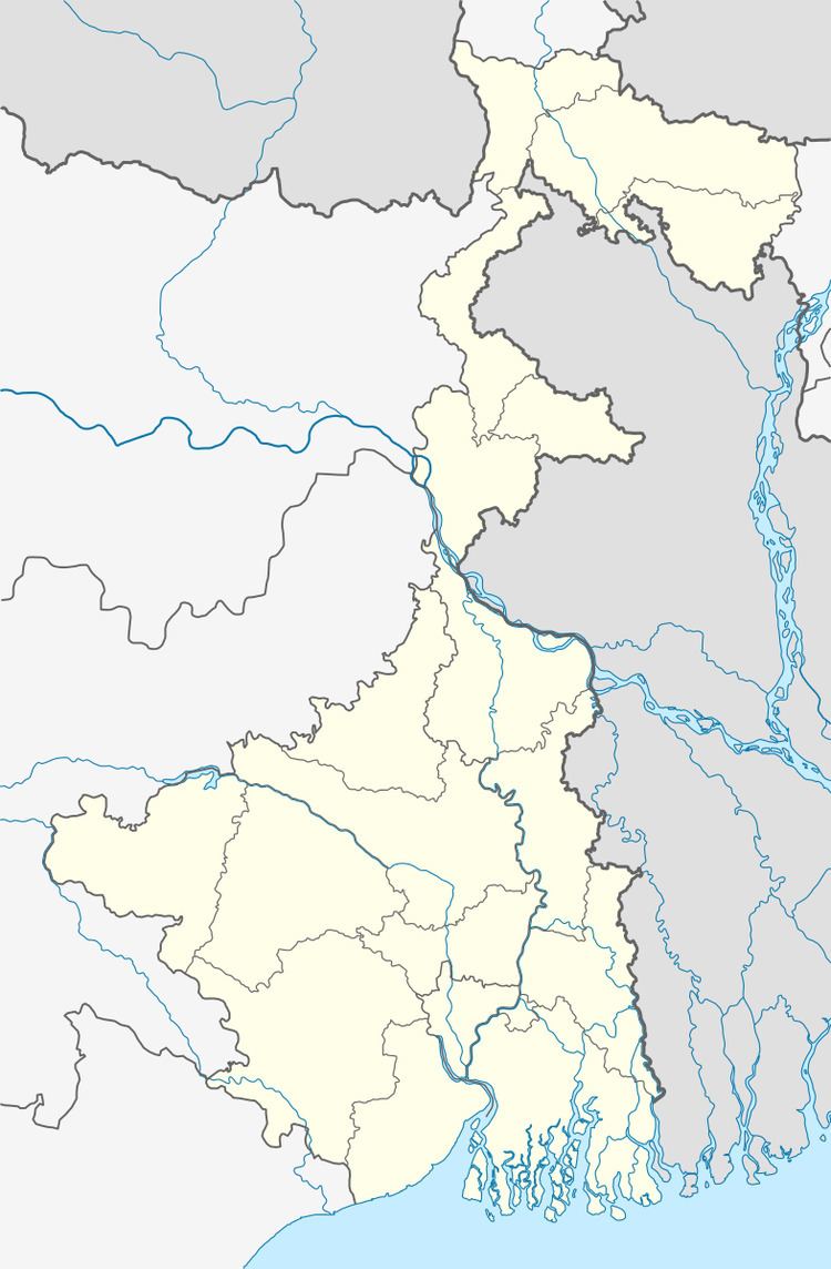 | ||
Jiara (Bengali: জিয়াড়া ) is a village in Chanditalal–I community development block of Srirampore subdivision in Hooghly District in the Indian state of West Bengal.
Contents
Map of Jiara, West Bengal 712701
Geography
Jiara is located at: 22°43′22″N 88°10′41″E
References
Jiara, Chanditala-I Wikipedia(Text) CC BY-SA