
Time zone China Standard (UTC+8) Elevation 1,186 m | GB/T 2260 CODE 530826 Postal code 665900 Area 3,476 km² Area code 0879 | |
 | ||
Country People's Republic of China Website jiangcheng.mofcom.gov.cn | ||
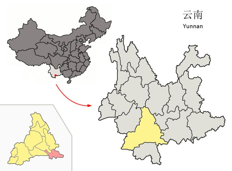
Jiangcheng Hani and Yi Autonomous County (simplified Chinese: 江城哈尼族彝族自治县; traditional Chinese: 江城哈尼族彝族自治縣; pinyin: Jiāngchéng hānízú yízú Zìzhìxiàn) is an autonomous county under the jurisdiction of Pu'er City, in southern Yunnan, China, bordering Laos and Vietnam to the south, making it the only county in the province to border more than one country. By road, its seat, the town of Menglie (勐烈镇), is 520 km (320 mi) from Kunming and 145 km (90 mi) from Simao District, the municipal seat of Pu'er.
Contents
Map of Jiangcheng, Pu'er, Yunnan, China
Geography and climate
Jiangcheng has latitude range of 22°20'−22°36' N and longitude range of 101°14'−102°19' E. Its seat, the town of Menglie (勐烈镇), has an elevation of 1,119 m (3,671 ft). Located at an altitude of above 1,100 m (3,600 ft), Jiangcheng, as with much of southern Yunnan, has a warm humid subtropical climate (Köppen Cwa), with muddled distinction between the seasons and daytime temperatures remaining warm year-round. Highs peak in April and May before the core of the rainy season and reach a minimum in December; however, the warmest and coolest months are June and December, respectively at 23.5 °C (74.3 °F) and 14.2 °C (57.6 °F); the annual mean is 19.75 °C (67.5 °F). June thru September accounts for nearly 70% of the annual rainfall of 2,240 mm (88 in) and during this time, some rainfall occurs on most days.
Ethnic groups
The Jiangcheng County Almanac (1989:351-368) lists the following ethnic subgroups, as well as locations.
Hani
Hani subgroups in Jiangcheng County are (Jiangcheng County Almanac 1989:351):
Other names for the Hani include: