
Time zone IST (UTC+5:30) Telephone code 01342 Population 18,701 (2001) Area code 01342 | PIN 246728 Vehicle registration UP Local time Saturday 5:57 PM | |
 | ||
Weather 18°C, Wind NW at 13 km/h, 59% Humidity | ||
See Wikipedia:WikiProject Indian cities for details
Contents
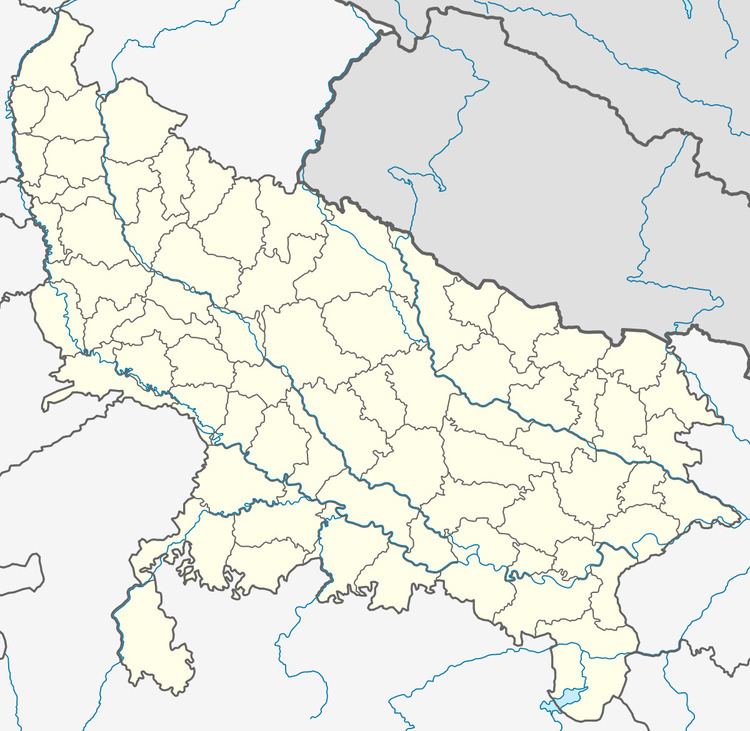
Map of Jhalu, Uttar Pradesh 246728
Jhalu is a town and a nagar panchayat in Bijnor district in the Indian state of Uttar Pradesh.
Geography
Jhalu is located at 29.35°N 78.25°E / 29.35; 78.25. It has an average elevation of 225 metres (738 feet).
Demographics
As of 2001 India census, Jhalu had a population of 18,701. Males constitute 52% of the population and females 48%. Jhalu has an average literacy rate of 46%, lower than the national average of 59.5%: male literacy is 53%, and female literacy is 38%. In Jhalu, 19% of the population is under 6 years of age.
References
Jhalu Wikipedia(Text) CC BY-SA