
Area 204.5 km² | Time zone BST (UTC+6) | |
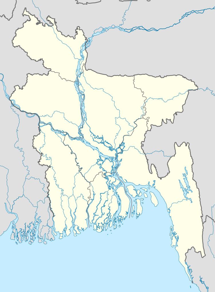 | ||
Website Sadar.gif Official Map of the Jhalakati Sadar Upazila | ||
Jhalakati Sadar (Bengali: ঝালকাঠি সদর) is an Upazila of Jhalokati District in the Division of Barisal, Bangladesh.
Contents
- Map of Jhalokati Sadar Upazila Bangladesh
- Geography
- Demographics
- Economy
- Administration
- Notable residents
- References
Map of Jhalokati Sadar Upazila, Bangladesh
Geography
Jhalakathi Sadar is located at 22.6431°N 90.2000°E / 22.6431; 90.2000. It has 36,504 households and a total area 204.48 km². Most of its people are literate.
Demographics
According to the 1991 Bangladesh census, Jhalakati Sadar had a population of 195,619. Males comprised 51.13% of the population, and females 48.87%. The population aged 18 or over was 102,890. Jhalakati Sadar had an average literacy rate of 54.4% (7+ years), compared to the national average of 32.4%.
Economy
Between 1940 and 1975, Jhalakati was famous for the only automatic rice huller in the region owned by Shudhangshu Bhushan Das Son of Aswini Kumar Das. It was a thriving complex built on an area approximately 2 square kilometer. The smoke from the chimney served as a navigation landmark by passing steamers while the factory siren could be heard from as far as Barisal. After the company declared bankruptcy in 1975 their descendants eventually migrated to India and other parts of Bangladesh. The massive ruins of the factory can still be seen at west Chandkati.
Administration
Jhalakati Sadar has 12 Unions/Wards, 186 Mauzas/Mahallas, and 176 villages.