
Country India Population 6,349 (2011) | Time zone IST (UTC+5:30) Vehicle registration WB Local time Saturday 2:41 PM | |
 | ||
Weather 29°C, Wind SW at 10 km/h, 63% Humidity | ||
Jetia is a census town in Barrackpore I CD Block in Barrackpore subdivision in North 24 Parganas district in the Indian state of West Bengal. Bijpur police station serves this town.
Contents
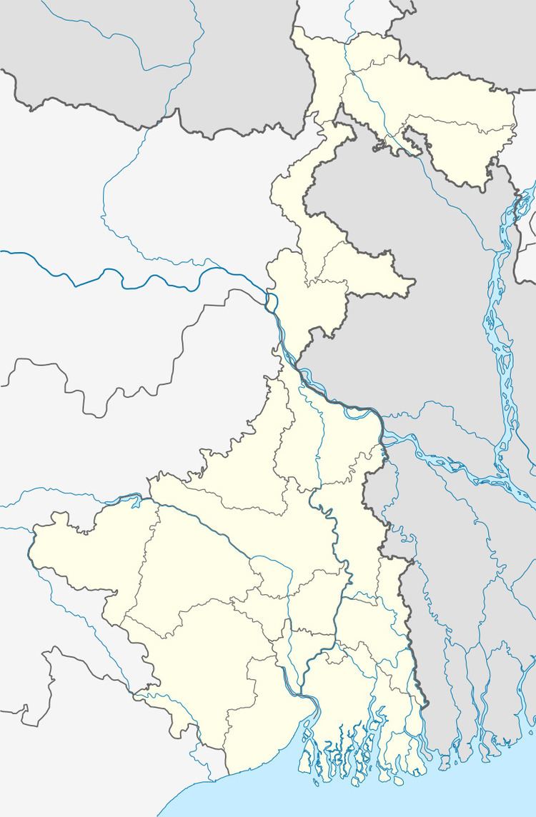
Map of Jetia, West Bengal
Geography
Jetia is located at 22°54′36″N 88°26′46″E.
Demographics
As per 2011 Census of India Jetia had a total population of 6,349, of which 3,246 (51%) were males and 3,103 (49%) were females. Population below 6 years was 415. The total number of literates in Jetia was 5,648 (95.18% of the population over 6 years).
As of 2001 India census, Jetia had a population of 5510. Males constitute 51% of the population and females 49%. Jetia has an average literacy rate of 85%, higher than the national average of 59.5%; male literacy is 88%, and female literacy is 82%. In Jetia, 7% of the population is under six years of age.
Healthcare
North 24 Parganas district has been identified as one of the areas where ground water is affected by arsenic contamination.