
Country United States ZIP codes 58452 Elevation 449 m Population 25 (2010) | Time zone Central (CST) (UTC-6) Area code(s) 701 Area 123 ha Local time Saturday 12:30 AM | |
 | ||
Weather -17°C, Wind NE at 16 km/h, 71% Humidity | ||
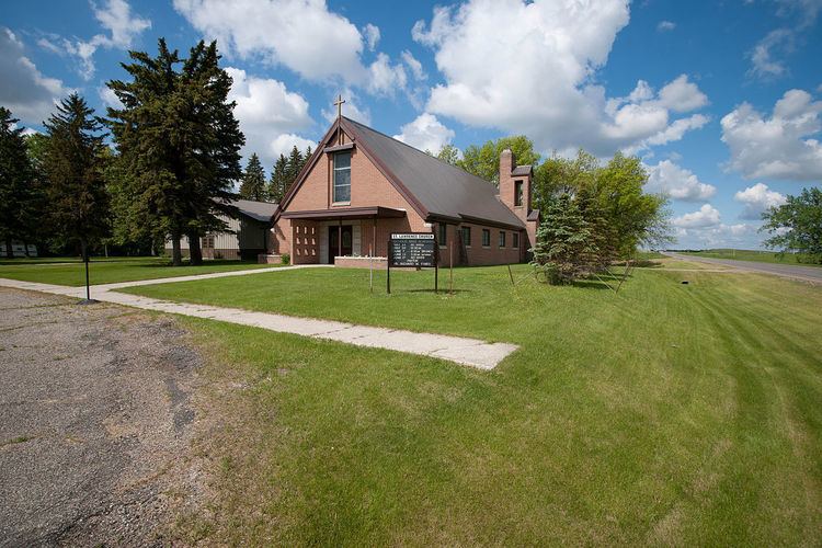
Jessie is a census-designated place in northern Griggs County, North Dakota, United States. An unincorporated community, it was designated as part of the U.S. Census Bureau's Participant Statistical Areas Program on March 31, 2010. It was not counted separately during the 2000 Census, but was included in the 2010 Census, where a population of 25 was reported.
Map of Jessie, ND 58452, USA
It lies along North Dakota Highway 65 northwest of the city of Cooperstown, the county seat of Griggs County. Although it is unincorporated, it has a post office with the ZIP code of 58452.
References
Jessie, North Dakota Wikipedia(Text) CC BY-SA