
Elevation 80 m (260 ft) Local time Saturday 6:02 AM Population 57 (2011) | Time zone CET (UTC+1) Postal code 52233 | |
 | ||
Weather 9°C, Wind N at 6 km/h, 34% Humidity | ||
Jesenovik (Istro-Romanian: Sucodru) is a small village in Istria, Croatia, in the municipality of Kršan. In 2011, the population of the village is 57. The village is inhabited mostly by Istro-Romanians.
Contents
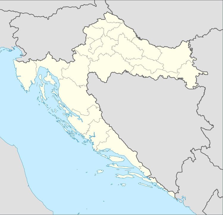
Map of Jesenovik, Croatia
Description
The village is located close to the local road Šušnjevica - Plomin and the railroad Šušnjevica - Labin, at the former Lake Čepić, now fieald, on the Western slopes of Učka, below the Brgud peak, with an elevation of 80 metres. The Eastern side the village is enclosed by the slopes of Učka, whilst to the West, there is the spacious and fertile Čepić field. The village economy is based on farming.
The portal of the Romanesque church of St. Quirinus, from 13th-14th century, features relief capitals. The one-nave space ends with two apses and is roofed over by an open roof truss. On the walls of the sanctuary and the apses are late Gothic wall paintings, attributed to master Albert from Konstanz in 1461, while the left apse has also an older layer of paintings from the 14th century.