
Postcode(s) 3527 Postal code 3527 | Jeruk Barraport West | |
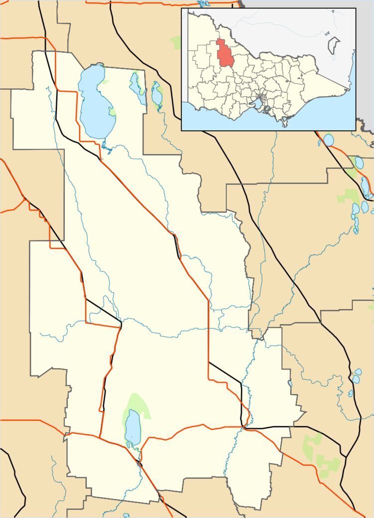 | ||
Location 17 km (11 mi) NE of Wycheproof56 km (35 mi) SW of Kerang242 km (150 mi) NW of Melbourne | ||
Jeruk is a located in the local government area of the Shire of Buloke, Victoria, Australia. The post office there opened on 10 August 1880, was closed on 2 September 1901, reopened in 1904 and closed on 31 May 1930.
Map of Jeruk VIC 3527, Australia
References
Jeruk, Victoria Wikipedia(Text) CC BY-SA