
Grid position 110/150 L District Tyre District Time zone EET (UTC+2) | Country Lebanon Elevation 250 m (820 ft) | |
 | ||
Governorate South Lebanon Governorate | ||
Jennata (Arabic: جناتا ) is a local authority in Southern Lebanon, located in Tyre District, Governorate of South Lebanon.
Contents
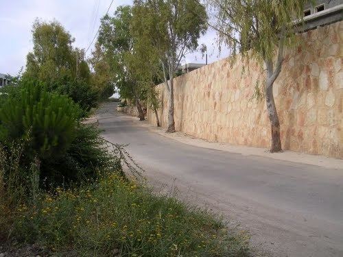
Map of Jannata, Lebanon
Name
According to E. H. Palmer, the name comes from Jennat, garden.
History
In 1875, Victor Guérin found the village, (which he called Djennateh), to have 60 Metawileh inhabitants. He further noted: "The village contains a number of ruined houses. A little mosque is partly built of ancient materials."
In 1881, the Palestine Exploration Fund's Survey of Western Palestine (SWP) described it: "A small village of stone and mud, containing about 100 Moslems. […] It lies low, on arable land. The water is supplied by two wells in the village."
References
Jennata Wikipedia(Text) CC BY-SA