Country Lebanon District Keserwan | Governorate Mount Lebanon Time zone EET (UTC+2) | |
 | ||
Similar Jeita Grotto, Lebanese Marine and Wildlife M, Mzaar Kfardebian, Our Lady of Lebanon, Raouché | ||
Beauty of lebanon lebanese night song vote for jeita 2011
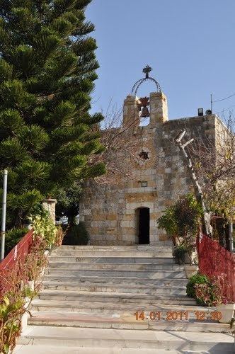
Jeita (Arabic: جعيتا Jʿītā; also spelled Jaaita or Jaita) is a town and municipality located in the Keserwan District of the Mount Lebanon Governorate of Lebanon. The town is about 20 kilometres (12 mi) north of Beirut. It has an average elevation of 380 meters above sea level and a total land area of 290 hectares. Jeita's inhabitants are Maronites.
Contents
- Beauty of lebanon lebanese night song vote for jeita 2011
- Map of Jeita Lebanon
- 48hours in lebanon jeita harissa faraya mzaar dekwaneh
- References
Map of Jeita, Lebanon
It is well known for the Jeita Grotto which is a popular tourist attraction, as well as the Nahr al-Kalb, a river that runs from a spring near the grotto emptying into the Mediterranean Sea. The name Jeita is derived from the Aramaic word Ge’itta, meaning "roar" or "noise".
48hours in lebanon jeita harissa faraya mzaar dekwaneh
References
Jeita Wikipedia(Text) CC BY-SA
